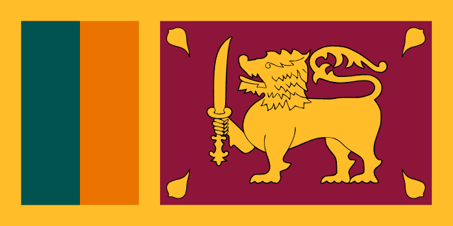
flag — Sri Lanka
Nation by Nation
Sri Lanka
Geography
Geography
Sri Lanka is a teardrop-shaped island in the Indian Ocean, lying off the southeastern tip of India, from which it is separated by the narrow Palk Strait. It covers about 65,610 square kilometers.
The terrain is mostly low, flat to rolling plain, with mountains rising in the south-central interior; the highest point, Pidurutalagala, reaches 2,524 meters. These central highlands feed the island's major rivers and contain the celebrated tea-growing districts. The climate is tropical and shaped by two monsoons: the southwest 'Yala' monsoon (May to September) waters the wet zone of the south and west, while the northeast 'Maha' monsoon (December to February) brings rain to the drier north and east.
Sri Lanka is renowned for its biodiversity, with many national parks and species found nowhere else on earth. Its natural resources include limestone, graphite, mineral sands, hydropower, and precious gems — the island has been famous for its sapphires since antiquity.